In 2019, EASA released new laws allowing for more drones to fly beyond the visual line of sight (BVLOS) in Europe under a set of specific criteria called standard scenarios. The laws will go into effect in January 2024, which means drone operators, manufacturers and service providers need to prepare if they want to take advantage of the open market.
The European Standard Scenario (STS) is a way for drone operations to be enabled more quickly without needing to obtain an operational authorization while still needing to adhere to safety guidelines surrounding the flight, which are continuing to be defined and redefined as the responsible authorities gain more experience.
There are a number of requirements for this to happen that are listed under Appendix 1 to Regulation (EU) 2019/947.
Some of the limitations for BVLOS operations are: (1) within 1 km of the drone operator in a non-urban area if there is no second observer involved, (2) if a second observer is involved, the 1 km can be extended to 2 km if the second observer is located 1 km from the drone operator, (3) the fight must be below 120 meters, (4) the UAV must have a C6 Class marking and (5) in a controlled ground area that is entirely located in a sparsely populated area.
Other pre-flight conditions also apply, including (1) the drone operator must be registered as a drone operator with their respective national aviation authority, and (2) the registered drone operator must submit a declaration that they intend to perform the specific operation under the standard scenario.
Still, if your BVLOS drone operation extends beyond 2 kilometers or is within a radius that contains people, you’re still dependent on obtaining the operational approval of the Specific Operations Risk Assessment (SORA).
1. To extend the range of BVLOS operations
There are two types of drone flights, according to the European Aviation Safety Agency (EASA). The first type of flight is the one most people who own drones will operate under (private and public), which is visual line of sight (VLOS). The second type of flight, which requires an operational approval is beyond visual line of sight (BVLOS).
If we imagined a world where a drone was connected to the operator without mobile connectivity, the distance the drone could potentially fly would only be a few kilometers, as the range would be significantly impacted. You could imagine something similar to how radio stations change over time during a long drive, as new stations can start reaching your car while others fade away and become unreachable.
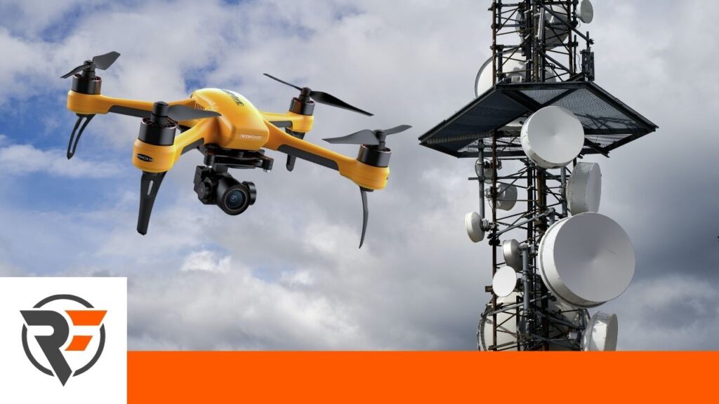
Mobile networks, on the other hand, offer extended coverage that has been upgraded over time to encompass most of the world either through ground or satellite infrastructure. The drone only needs to be equipped with a SIM card to access this mobile network as a subscriber. This would allow a drone to operate BVLOS throughout an entire country where it has access to that particular network. If the drone goes beyond that network’s reach, mobile network service providers have already created automatic roaming, so the drone would be moved to the next available mobile network service provider in the area.
The advantages of safe operations over long distances, beyond the radio line of sight of today’s drones are enormous and can further boost existing use cases such as linear infrastructure inspections. This is particularly true when analyzing existing Pre-Defined Risk Assessments (PDRA) issued by EASA, such as PDRA G-03. This PDRA allows for BVLOS linear infrastructure inspections in the radio line of sight and a simple improvement to also permit the use of mobile connectivity would allow hundreds of professional operators to extend the range of their inspections with a dramatic improvement to unit economics. Several operators have asked for such a revision, and both the JARUS PDRA working group and EASA are exploring options for such a revision.
How does extended mobile connectivity play a role in the SORA?
Because SORA is a risk assessment that limits the risk a drone will face, extended mobile connectivity reduces the risk that the drone will lose its connection to the ground operator. Of course, the SORA also calls for mitigations, or fail-safes that are built into the drone when this happens. Some of the most popular fail-safes are making the drone return home or having the drone hover in place. Each one of these will come with its respective pros and cons, so it’s up to the drone operator to use the respective mitigation that makes the most sense in a given scenario.
Mobile connectivity for extended BVLOS operations would also need to be listed in the document called the Concept of Operations (ConOps) — please also note that this document will soon be renamed in SORA 2.5.
The ConOps is a list of every aspect of a drone operator’s operational processes as well as technical elements. Mobile connectivity is essential for drone operations because it allows a drone operator to fuse mobile network infrastructure that has existed and been reliably used for decades into their safety strategy for more risky BVLOS operations, which allows them to gain the operational approvals needed.
2. To facilitate contingency management
In the simplest of definitions, contingency management is the process of dealing with inflight non-conformances before they become emergencies. That means the way a drone reacts to all kinds of unexpected events, like engine malfunctions, loss of electrical power, unexpected weather, sudden changes in the safety of an operation and even planes flying in low-level airspaces, are all part of a drone’s contingency management.
When dealing with in-flight contingencies that cannot be managed directly by the drone (i.e. onboard contingency management), it’s essential to have reliable connectivity for the pilot to perform the correct contingency procedure. Although the management of a single drone contingency could be successfully achieved with other means than mobile connectivity, the challenge becomes a significant one for autonomous operations with a high drone-to-pilot ratio.
Imagine a scenario where a weather event is fast approaching a fleet of autonomous drones operating a drone delivery service over a city. It would certainly be easier to deliver a “land” command to all drones via the single push of a button rather than having to command each of them individually.
It’s due to this reason that the Specific Operations Risk Assessment (SORA) calls for a comprehensive contingency plan, thus ensuring that operations involving multiple drones are safely executed.
How mobile networks improve contingency planning for drones?
Operating a fleet of drones connected via mobile network to a ground station provides significant benefits over operations limited to radio links. These benefits become evident when looking at contingency management and how networked operations allow for simplified and safer procedures compared to any other means of connectivity.
3. To allow the use of dynamic population density maps
One of the main elements of the SORA risk management strategies for ground risk is recognizing what a drone is flying over and how this affects the level of risk of an operation. Most elements like bridges, highways, pipelines and other forms of critical infrastructure stay in place and don’t move, so these can be marked on a map and properly considered during the drone’s route. The problem, however, comes when people gather on the ground on the route the drone plans to take.
A drone operator would have significant safety benefits if they were able to recognize these immediate changes and react to them accordingly. Recognizing ground population density is nearly impossible without mobile network data. In Switzerland, AirborneRF is in the process of enabling the use of mobile data to understand the air and ground risks with the Federal Office of Civil Aviation (FOCA) by creating a digital SORA process.
This means the AirborneRF software is able to use mobile ground risk information and translate this into an estimated risk for the operation, allowing drone operators to react quickly to potential risks and change flight plans dynamically instead of cancelling them when the unexpected happens.
4. To integrate with new U-spaces
Integrating drones safely into existing airspaces is an incredibly difficult challenge that the European Union Safety Agency (EASA) is tackling by creating new regulations to enable the safe implementation of drone operations. A pillar of drone integration into the airspace is Regulation 2021/664, the regulation that enables the creation of U-space airspaces.
A U-Space airspace is an Uncrewed Aerial Systems (UAS) geographical zone designated by individual European Member States, where UAS operations are only allowed to take place with the support of U-space services. The four mandatory services in a U-Space are Network Identification, Geo-awareness, Traffic Information and UAS Traffic Information.
In order for a drone operator to benefit from those services and be allowed to operate in a designated U-Space, the drone must be connected to a network. Only network connectivity, in fact, would allow the operator to integrate with a U-Space Service Provider (USSP) that ensures the provision of the services and, therefore, the safety of operations within the U-Space.
What is crucial to understand is that U-Space airspaces are created in areas where the risk of operating would be too high without them. The U-Space risk assessments that the European Member States have to perform when establishing such airspaces are, therefore, very likely to show that operations within a U-Space are conducted at significantly lower risk than without U-Space. In SORA terms, this means lower Air Risk Category (very possibly ARC-b for the majority of U-Spaces) and, therefore, lower Specific Assurance and Integrity Levels (SAIL).
The benefits of operating at lower SAIL due to reduced air risk enabled by U-Space is very possibly the single most important factor to scaling drone operations in Europe.
Preparing yourself for such connected operations is, therefore, imperative.
Want to start using one of the only telecommunications-to-drone interfaces in the world? Contact us to learn more about the AirborneRF solution!