A recent study predicts that drone operations will scale to nearly half a million by 2023, with an increasing number being used commercially for the logistics industry alone. Understanding the needs of this volume brings in Germany is challenging, which is why Vodafone Germany launched DroNet, utilising the AirbornRF solution as their first digital risk check for drone flights in Europe as a response to the rapid growth of drone operations in Germany.
DroNet accelerates the approval process for airborne drone operations and enhances their overall level of safety by leveraging anonymised movement data from the mobile networks provided by Vodafone Germany. The solution was launched on the 23rd of March as the industry’s first digital data service for risk assessments specifically targeting commercial drone flights. The digital interface empowers operators and the relevant authorities to use this new service to assess relevant ground and connectivity risks.
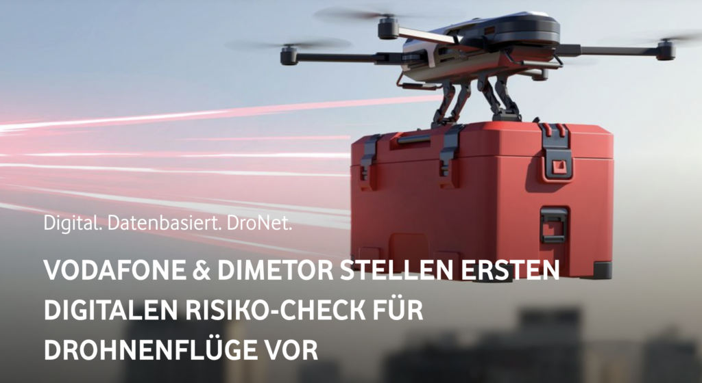
What is DroNet?
DroNet is designed to answer the current critical questions surrounding the practical implementation of drone operations at scale, including: how many people are present below the flight path and how stable the cellular connectivity is between the pilot and the drone. By addressing these concerns, DroNet expedites the approval process and improves the overall safety of airborne drone operations.
DroNet also draws on a rich and innovative history that includes more than just fictitious time machines, hoverboards and lightning-powered gadgets that still, to this day, remain solely in the realm of science fiction. Instead, DroNet was created with an innovative and passionate spirit that says new inventions and technologies will become integral parts of our everyday lives.
For example, smartphones and video calls have revolutionised the way people communicate, and drones are expected to be adopted at a similar rate. According to the German Uncrewed Aviation Association (Verband Unbemannte Luftfahrt), the number of Germany’s drones is projected to rise to around 450,000 by 2025. The primary driver of that growth will be the commercial drone market as uncrewed aerial vehicles (UAVs) become an indispensable part of the logistics industry as they save both time and increase efficiency.
How are safe drone operations ensured with DroNet?
The European Union has established clear rules for all types of airborne drone operations that include how to determine when the benefits of using a drone for a particular task outweigh the risks, including the potential for crashes or collisions.
Safety in the air and on the ground are both considered in these calculations, so flights with the greatest potential in terms of efficiency for commercial use, like autonomous drones that cover greater distances and can happen beyond visual line of sight (BVLOS), will require a strict approval process before they’re able to be implemented.
These approval processes can take several weeks (or even months in most cases) due to the strict nature of the testing involved, which includes gathering and analysing the required information that an organisation will provide to the relevant authorities.
In the official press release issued by Vodafone Germany, on the 23rd of March, Michael Reinhartz, the Head of Innovation at Vodafone Germany said, “That’s where we come in with our new and industry-unique solution. With our DroNet digital data service, we are providing mobile data that can be used to answer the question of ground risk more quickly and more reliably than ever before,” he continued by saying that Vodafone “wants to help speed up the approval process for drone flights in Germany and help drone operators get their drones airborne faster”.
How DroNet works in practice
Starting on March 23rd, 2023, Vodafone Germany began offering a digital service for individual route planning for drone operations. Accessible to both applicants (e.g., drone operators) and the relevant authorities (e.g., the responsible Civil Aviation Authority), this service enables users to access and analyse anonymous real-time data through AirborneRF’s digital interface for their specific flight route via DroNet.
Two primary criteria are assessed during this process: (1) the strength and continuity of Vodafone’s cellular coverage, which determines the drone’s reliability and controllability over long distances, and (2) the number of Vodafone SIM cards connected to the mobile network below the flight path, which provides an estimate of the number of people in the area.
In only a few seconds, this information can be incorporated into route planning for safer and more efficient drone flights.
Thomas Neubauer, CEO and co-founder of Dimetor, explained, “Safety is the top priority in aviation. To meet this demand, drone management systems need precise, up-to-date and meaningful data — both in terms of connectivity in the airspace and for assessing the ground risk. Mobile networks have this information at their disposal and thus can make a significant contribution to the safety, plannability and risk minimisation of drone flights.”
To learn more about AirborneRF, check out our video.