LMT and software company Dimetor have partnered to explore the integration of drones into VLL (very low level) airspace. This builds on earlier collaboration where the two companies succeeded in validating the viability of BVLOS drone flights using mobile networks. The current collaboration entails investigative research into the theoretical and practical possibilities of using the mobile network to drive the inclusion of UAVs into air traffic.
A critical component of the research conducted by the two pertains to addressing the challenges of communication and safety related to BVLOS (beyond the visual line of sight) flights. Ensuring real-time communication between flight operators, aviation authorities, and any 3rd parties that are involved, is critical to paving the way for autonomous flights. To address these challenges, the AirborneRF data platform by Dimetor will be used in the LMT mobile network and its advanced network measurements to ascertain the success of the experiments.
LMT and Dimetor’s collaboration spans more than one year already. In 2019, they collectively implemented a live BVLOS drone flight, providing early validation to the safety and viability of drone flight beyond the visual line of sight. Building on this experience, LMT also demonstrated one of the first cross-border BVLOS drone flights worldwide.
The results of these pilot projects demonstrate that the mobile network in its current configuration is capable of hosting UAV flight – the widespread use of autonomous drones in smart city (among other) applications is within reach. But further investigation is needed to confirm that it is sufficient to do so in a safe and functional manner.
To ensure that the mobile network is suitable for UAV flight, LMT is working on a variety of projects:
- The COMP4DRONES project, an ECSEL JU project that brings together a consortium of 50 partners with the aim of providing a framework of key enabling technologies for safe and autonomous drones.
- Collaborating with local regulating institutions to solve the regulatory requirements of integrating drones into airspace.
- Network and infrastructure research and analysis in collaboration with Dimetor on the future viability of ensuring communication in VLL airspace.
- The SESAR U-Space “GOF 2.0 Integrated Urban Airspace Validation” project. Dimetor is a consortium member, and Latvia will be one of the countries where the end-to-end BVLOS drone operations, utilizing LMTs mobile network, will be implemented. The objective is to “focus on the safe, secure, and sustainable integration of all airspace users into one unified airspace”.
Significant efforts to integrate UAVs into common airspace are being made by GSMA and GUTMA, establishing the Aerial Connectivity Joint Activity (ACJA). Bringing together mobile network operators, regulators, and the aviation industry to best understand how to integrate drones into common airspace is a crucial prerequisite to implementing drone applications.
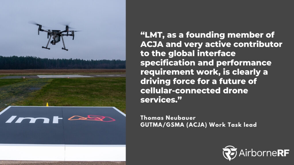
“LMT, as a founding member of ACJA and a very active contributor to the global interface specification and performance requirement work, is clearly a driving force for a future of cellular-connected drone services. “
Thomas Neubauer, GUTMA/GSMA (ACJA) Work Task lead and co-founder of Dimetor
To support these efforts, solutions for information exchange and safe drone flight are necessary for this integration to happen. This is the area that LMT and Dimetor’s collaboration aims to address.
For more information, contact LMT press secretary Elina Lidere.
Elina Lidere
Press secretary
elina.lidere@lmt.lv
+371 29248420
About LMT
LMT is a mobile tech innovator that was established in 1992 in Latvia, and is the leading mobile network operator in the country. As the innovation leader in the market, LMT offers a full spectrum of telecommunication, integration, and IT services both locally as well as internationally. LMT is 5G ready – the network operator is actively working on developing technologies that could be advanced by 5G technology such as a smart cities, mobility and connected cars, drone technologies, public safety and even innovations in space exploration, etc.
About Dimetor
Dimetor is a software company bridging the data gap between communications service providers (CSPs) and the aviation eco-systems. Through its world-leading platform AirborneRF, they help provide supplementary data that is critical for safe BVLOS drone operations. AirborneRF focuses on (a) the 3D corridors in space that have sufficiently good connectivity for drone operations (e.g. for networked remote ID, command and control, payload communication), and (b) the population density for ground risk assessment, based on anonymized cellular mobility data. Developed by experts in mobile communication networks, aviation and drone technology, AirborneRF also provides live notifications from the CSP networks in case of any issue during flight operation may occur. Dimetor’s software has been deployed worldwide, including Australia, Switzerland, Netherlands, the United States. Visit www.dimetor.com and www.airborneRF.com for more information.

